


On a bright afternoon near Niagara Falls, a small drone climbs toward a stretch of high‑voltage lines, signaling a shift in how grid maintenance is done. The aircraft is part of National Grid’s effort to inspect equipment without putting crews at risk. The moment underscores a broader move: drones are moving from novelty to normal in critical infrastructure work. The skies above industrial sites are becoming a new frontier for asset health checks and weather resilience.
Recent Trends
- Utility drones widen infrastructure inspection reach
- Thermal imaging adds temperature-based fault detection
- Utilities expand hiring of drone pilots
Utility drone inspections
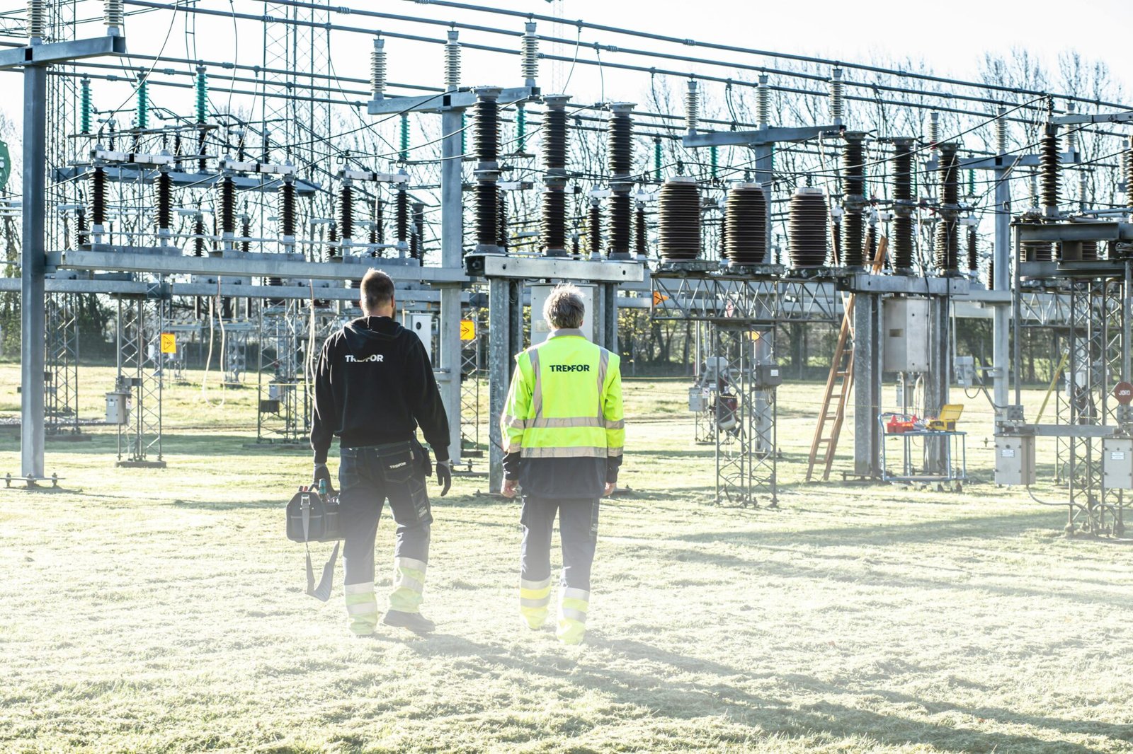
National Grid has begun using drones to help crews identify problems with equipment. The work focuses on pre‑emptive checks and post‑storm assessments, allowing teams to spot issues from a safe distance and capture images for review on computers rather than climbing towers or entering hazardous areas. In the Niagara Falls test, operators aim to accelerate maintenance decisions while reducing risk for field personnel.
During the demonstration, Jon Thies, UAS Program Manager at National Grid, described the operation: “We’ll fly up over this structure, that’s kind of this taller structure that’s right in front of us, and we’re actually going to be inspecting the one that’s on the backside of it.” The mission centered on a 230 kV structure at a sub‑station, a high‑value asset in the utility’s grid. Thies emphasized that the drone’s camera work targets insulators so the asset management team can evaluate conditions without sending climbers up the tower.
Beyond simple photos, the drone also captures thermal imagery. “This drone also takes thermal pictures, too, so if there was a hot spot or anything like that, we’d be able to see that,” Thies added. Thermal data helps operators detect abnormal heating that could signal insulation or conductor issues, enabling targeted follow‑ups before a fault develops. National Grid spokesman David Bertola highlighted another practical benefit: the drone’s imagery makes it easier to assess damage after severe weather, especially where terrain is difficult or where trucks cannot easily reach the site. He described the effort as a time saver that keeps crews safer while speeding up decision‑making.
According to WGRZ Buffalo, the Niagara Falls inspection occurred Monday afternoon as part of a broader rollout. The initial flight yielded a batch of clear images that the asset management team will review for any signs of deterioration. The takeaway for field teams is pragmatic: the drone helps create a fast, visual record that can be checked against maintenance histories and engineering standards. The takeaway for the industry is bigger: if a utility can deploy aerial imagery at scale, it can shorten maintenance cycles, improve response times after storms, and reduce the need for risky manual inspections.
National Grid notes that this is more than a one‑off demonstration. “We’re going to be doing more work with drones, so if you see one near a sub‑station, it’s likely normal work that’s going on,” the company stated, and the program will include hiring more drone pilots. For the drone industry, the message is clear: civilian drones are becoming a routine tool for critical infrastructure, expanding the market for commercial UAS services and the demand for skilled operators who can interpret complex sensor data alongside traditional visual inspection.
For defense planners and civil operators alike, the Niagara Falls example is instructive. It shows how a well‑designed drone program can complement existing inspection workflows, reduce exposure to hazardous conditions, and deliver data that informs maintenance budgets and scheduling. The integration of thermal imaging adds a valuable diagnostic layer, turning occasional aerial checks into ongoing health monitoring. As utilities push for more resilient grids in the face of extreme weather, the pace of drone adoption in this sector is unlikely to slow. The early lessons from National Grid’s program may shape how other utilities approach aerial inspection, training, and data management in the years ahead.
In briefing readers about implications, the key takeaway is this: drones are not just eye‑in‑the‑sky tools. They are data platforms that, when combined with thermal sensing and asset records, can reshape how utilities plan maintenance, manage risk, and invest in workforce development. For readers in the drone industry, the Niagara Falls test signals a scalable, real‑world path for civilian drone services that also supports critical infrastructure resilience.


