


Clay County is quietly turning its public safety toolkit upside down with a new generation of drones. The sheriff’s office has begun integrating advanced aerial platforms to support patrols, search-and-rescue missions, traffic incident response, and major-event coverage. In practice, this means first responders can gain a live, bird’s-eye view of unfolding incidents without placing officers at risk. The initiative signals a practical shift from reliance on ground-only tactics to a hybrid approach that blends human judgment with real-time aerial intelligence.
Recent Trends
- Urban search and rescue drones expand capabilities
- Real-time video and data sharing streamline response
- Public safety drone programs face greater transparency expectations
By weaving drone feeds into dispatch and command centers, the agency aims to shorten response times and improve decision-making on the ground. The approach mirrors a broader movement across the United States, where drones are moving from novelty to essential tool in public safety operations. For residents, that means faster containment of incidents, clearer situational awareness for responders, and better crowd management during events.
According to Hoodline, the Clay County Sheriff’s Office has rolled out the program with a clear emphasis on training, credentialing, and community outreach. The deployment includes on-call operators who undergo scenario-based exercises and maintain strict operating procedures to ensure safety and privacy. This level of preparation signals a shift from one-off aerial swoops to sustained, mission-ready drone capability. The emphasis on training also points toward a longer-term plan: a scalable program that can adapt as needs evolve and as new drone models and software become available.
For residents, that shift translates to faster incident containment, better situational awareness, and more precise resource allocation during emergencies. For defense planners and policymakers, the move underscores how local agencies are building scalable drone programs that can be expanded as requirements evolve. Yet it also raises questions about data handling, surveillance boundaries, and the pace of regulatory adaptation at the state level in Florida and nationwide. The emphasis on privacy and community engagement suggests that the sheriff’s office is trying to balance the advantages of public safety drones with responsible governance.
What the technology enables
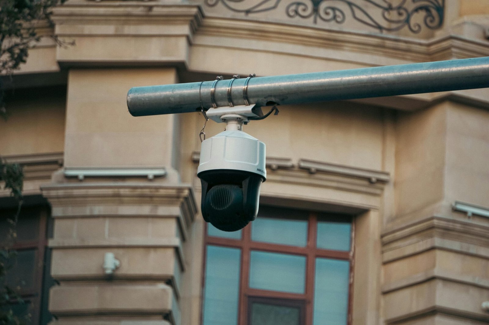
Public safety drones bring real-time video, high-resolution mapping, and sometimes thermal imaging to the field. In Clay County, this enables officers to scout large areas quickly, locate missing persons, and monitor traffic patterns during crashes or evacuations. The technology can layer feeds into a shared incident map, helping multiple agencies coordinate actions in near real time. Drones also reduce risk to officers during high-stakes operations and provide a rapid initial assessment that informs the deployment of personnel and equipment.
Regulatory and oversight context
At the federal level, the FAA sets rules on airspace, training, and drone operations. Locally, Florida law enforcement agencies often operate under state-level privacy and data retention guidelines, with oversight from sheriff’s offices and commissions. The evolving landscape means agencies must stay current with privacy-by-design practices and ensure data is stored securely and accessed only by authorized personnel. As drone adoption grows, expect continued updates to both policy frameworks and procurement standards to reflect lessons learned from programs like the one in Clay County.
Industry implications
For the drone industry, Clay County’s adoption signals demand for compact, reliable, and user-friendly platforms that integrate with existing dispatch software. Vendors are racing to offer turnkey packages: flight-control software, data management, and privacy-by-design features. This trend is fueling competition among drone manufacturers, service providers, and software vendors who want to win more public safety contracts. The shift also highlights a growing market for training services, operations centers, and cross-agency data-sharing tools that make drone programs effective in real-world settings.
Florida drone program and privacy considerations
The deployment aligns with Florida’s broader approach to drone programs, which emphasizes transparency, community trust, and clear governance. Agencies deploying these tools must navigate privacy concerns, define data retention policies, and establish redress mechanisms for residents who feel their rights are impacted. For the industry, this means a push toward privacy-first design and auditable data workflows that reassure the public and regulators alike.
FAQ
Q: What can these drones really do for day-to-day policing?
A: They provide rapid situational awareness, reach hard-to-access areas, and support search-and-rescue with live feeds and mapping.
Q: Will this affect privacy for residents?
A: Agencies emphasize data minimization, access controls, and governance to balance safety with privacy concerns.
Conclusion
Clay County’s drone program embodies a pragmatic shift in public safety: technology extends the reach of first responders without replacing the human element. As fleets grow, the real test will be how agencies balance efficacy with accountability and how policy keeps pace with practice.


