


In fields and forests alike, drone crews are trading manual flyovers for smarter, automated workflows. The shift isn’t just about speed; it’s about reliable data, repeatable surveys, and the ability to turn captures into actionable insights on the same day. As farms, utilities, and construction sites grow more data-driven, mapping tasks are migrating toward software-driven automation that can plan routes, QA results, and trigger alerts without constant human direction.
Recent Trends
- Automation expands data capture and repeatability
- IoT-enabled drone ecosystems are growing
- Autonomous flight reduces on-site labor
Drone Mapping Automation: Trends for 2025–2035
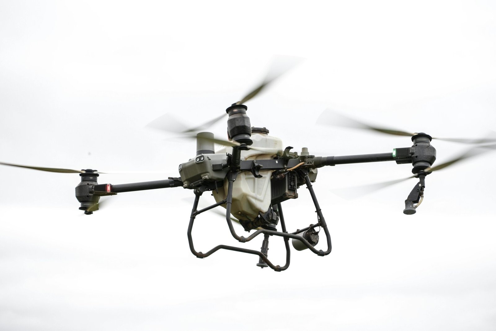
The market for drone mapping tools is moving from manual operations to automated workflows. Analysts foresee strong demand for autonomous flight planning, on-board AI processing, and seamless integration with IoT devices used in agriculture and infrastructure monitoring. This shift is being driven by fleets that must cover large areas with consistent data quality, across diverse sensors such as multispectral or thermal cameras.
Drone mapping automation is expanding the ecosystem beyond core flight software. Vendors are integrating with IoT platforms and farm-management systems to deliver end-to-end data workflows. In practice, a single mapped field could feed a regulatory-compliant record, a crop health dashboard, and maintenance schedules at once. Examples include DJI’s mapping software, Parrot’s enterprise offerings, and senseFly’s autonomous flight workflows, which illustrate how automation can scale field surveys.
For operators, the result is fewer manual inputs, faster turnaround, and clearer risk management. Autonomous operations enable BVLOS (beyond visual line of sight) mapping with robust safety checks, while edge processing allows data to be analyzed on site. This reduces cloud dependency and speeds decision making in real time.
According to Business Wire’s market release, automation and IoT integration are accelerating across industries, and the drone mapping space is no exception. Eagletribune highlights how these trends intersect with AgTech tools to create smarter crops, smarter borders, and more efficient infrastructure inspections.
As the regulatory environment matures, the economics of scale will favor operators who standardize data formats, integrate with existing IoT stacks, and build repeatable playbooks for survey campaigns. In the U.S., authorities are focusing on BVLOS clarity and data privacy, while the EU emphasizes harmonized data sharing for farm analytics.
What this means for users and suppliers
Use cases spread from precision agriculture to utility corridor inspection. In agriculture, automated drone mapping connects with irrigation systems and soil sensors to support variable-rate inputs. In infrastructure, map-driven asset inventories reduce on-site visits and improve maintenance planning. A large farm cooperative adopting an automated mapping workflow shows how time savings translate into higher crop yields and lower labor costs.
To stay competitive, firms are investing in on-board AI to interpret imagery, and in interoperability with IoT platforms that collect weather, soil, and asset data. Vendors such as DJI, Parrot, and senseFly are not just selling hardware; they are offering data-centric workflows that tie flight plans to analytics, reporting, and compliance records.
Technology and policy outlook
The next phase will hinge on robust sensing, reliable autonomy, and safer BVLOS operations. The convergence of mapping tools with IoT and field data centers will push standards for data formats and security. For buyers, that means less vendor lock-in and more choice in how data moves from drone to decision maker.
Conclusion
Automation-driven drone mapping is transforming field operations by delivering faster, richer data and simpler data pipelines. The interplay with IoT and AgTech tools creates value across sectors, from crop management to asset inspections. For practitioners, the takeaway is clear: invest in interoperable, automated mapping workflows today to stay competitive tomorrow.


