
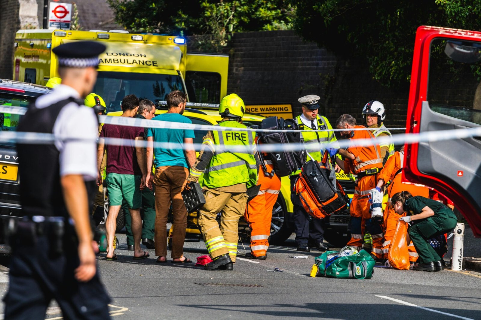


Two minutes after a 999 call, a drone lifts from a rooftop box and charts a path to the scene, delivering real-time footage to officers on the ground. In London, Scotland Yard is piloting a drone first responder program designed to speed up emergency responses and sharpen situational awareness.
Recent Trends
- Drones used as first responders in major cities
- Real-time situational awareness fuels faster decisions
- NPCC scales drone trials across the UK
Launched as part of the National Police Chiefs Council (NPCC) drone program, the Met Police’s Drone as First Responder (DFR) pilot began in Islington in north London. The team plans a staged rollout to the bustling West End and Hyde Park later this year, signaling a measured approach to urban deployment. Drones will be dispatched remotely from the Met’s control room and piloted by specially trained operators to arrive on scene within minutes. This drone first responder effort is designed to give ground teams a crucial head start with real-time imagery and intelligence right as responders reach the call.
According to News18, citing PTI, the drones will be launched remotely from the control room and stream high-quality footage to the ground units and control room within minutes, illustrating the drone first responder approach in action. The system aims to provide actionable intelligence on a suspect’s location, movements, and quick descriptions of appearances, helping officers converge on incidents more efficiently.
The drones are housed in weather-proof boxes atop selected police buildings, charging and waiting for a call to launch. When deployed, a drone’s video feed is transmitted in real time to the control room or assigned mobile users, enabling a tailored response and preserving footage for potential evidence. The Met notes that this drone first responder model is quicker, quieter, cheaper, and more environmentally friendly than traditional helicopters while delivering comparable outcomes in many scenarios.
Beyond speed, the plan seeks to improve safety by giving officers better situational awareness before they reach a scene. The NPCC program has already collaborated with forces such as Norfolk Constabulary, Cleveland Police, and Thames Valley Police Joint Operations Unit to run trials across varied environments, from dense urban centers to rural areas. The Met’s deployment method relies on pre-positioned boxes on rooftops, with the decision to launch made by the control room operators, ensuring a controlled and rapid response. For residents, the prospect is faster emergency aid and clearer information in the moments after a crisis unfolds. For defense planners and city officials, the underlying message is simple: speed matters, but it must be paired with precision and accountability.
What is the drone first responder concept?
The drone first responder concept centers on using unmanned aerial systems to provide immediate situational awareness, locate missing people, trace suspects, and deliver intelligence to ground units and command centers. Think of it as a force multiplier: a quick aerial vantage point that helps steer ground operations more efficiently. In London, this complements existing helicopter assets by offering a cheaper, quieter, and more targeted option for initial observation and evidence collection.
Rollout, impact, and considerations
The Islington pilot is a test bed for a broader rollout across central London and other urban cores. If successful, the Met plans to extend coverage to the West End and Hyde Park, with the NPCC coordinating the broader UK adoption. The potential benefits are tangible: faster incident assessment, improved missing-person searches, and faster capture of actionable intelligence. But the development also raises questions about privacy, data handling, and operational transparency that police leaders say will be addressed through oversight and clear protocols. For readers and operators, the key takeaway is that real-time aerial data is becoming a standard tool in emergency response, not a novelty feature.
For readers who want a quick sense of scale, the Met’s DFR program is designed to integrate with existing police workflows rather than replace them. The intent is to shorten response times and improve the relevance of the resources dispatched to any given incident. As one senior officer noted, rapid aerial intelligence can help tailor responses on the ground, reducing risks to both officers and the public. This aligns with a broader shift in policing toward data-driven, tech-enabled operations that can adapt to urban complexity without sacrificing accountability.
Conclusion
The London drone first responder trial marks a meaningful step in modern policing: speed, clarity, and smarter resource use powered by aerial data. If the pilots prove resilient, the NPCC-guided rollout could set a new standard for emergency response across UK cities, influencing everything from training and procurement to privacy safeguards and public communication. In an era where every second counts, real-time drone intelligence could redefine how agencies respond to crises and protect communities.


